
Water Damage Restoration in Northeast Phoenix
Published October 8, 2026 · Last reviewed October 8, 2026 · Water Fighters Restoration
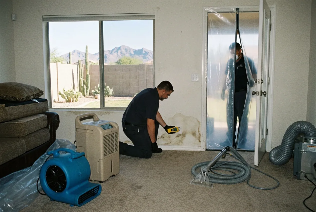
Northeast Phoenix, on this page, means Paradise Valley Village (City of Phoenix). It covers about 43 square miles from 16th Street east to the Scottsdale city line, and from the Phoenix Mountains north to the CAP canal. It is one of the City's urban villages, not the Town of Paradise Valley, which is a different city.
Two things shape the water work here. Tatum Boulevard is the seam in the housing, and Indian Bend Wash has a Phoenix reach fed only by land below the canal.
Village, Not Town
The Town of Paradise Valley incorporated on May 24, 1961, as its own municipality. Even the reference entry for the Town warns readers not to confuse it with Paradise Valley Village, "an official municipal designation, in northeast Phoenix."
Addresses get confusing on the east edge. North of Shea, the village runs to the Scottsdale city line, near 64th Street around Shea and near 60th Street at Cactus. Scottsdale Road is the edge only from about Thunderbird north. Across the canal, the Desert Ridge page takes over.
About 86% of ZIP 85254 sits inside this village, and many of those homes carry a "Scottsdale" mailing address on City of Phoenix land. The City's own plan lists Kierland Commons as a village asset. The mailing address and the city are different things.
The Tatum Seam
Indoors, Tatum is the line to know. ZIPs 85028 and 85032 both end at Tatum, and 85254 runs east from it.
The oldest stock sits in 85028, between the mountains and about Cactus. About two-thirds of its homes predate 1980, 81% are single-family detached, and 83% are owner-occupied. North and east, the build years move later: about 46% of units in 85032 and 56% in 85254 date from 1980 through 1999. 85032 is also denser, with about a third of its units in buildings of two or more. (ACS 2020–2024, ZIP-wide; 85254 includes land outside the village.)
Homes built before 1960 are about 3% or less of every core ZIP, so pre-war plumbing is not the story here. Most 85028 homes likely date to the copper era. A share of the homes built in 85032 and 85254 fall in the polybutylene years. That is build-year timing, not a verdict on any one house. Slab homes from all of these decades can lose water under the floor first, and the slab leak guide covers how that shows up.
The Phoenix Reach of Indian Bend Wash
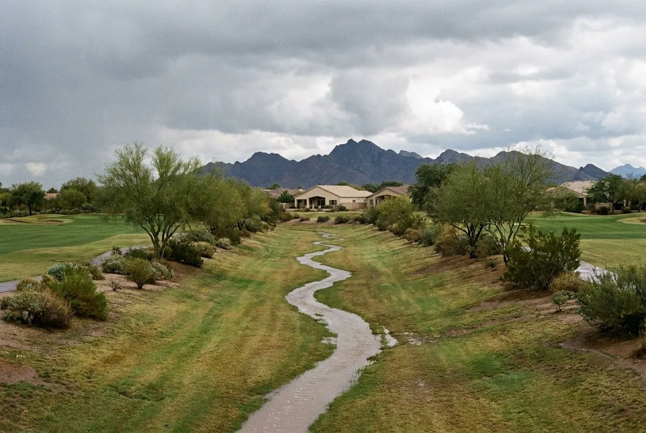
Indian Bend Wash's Phoenix reach runs from around 32nd Street and Thunderbird southeast toward Shea, through Stonecreek Golf Club between about 40th Street and Tatum, then through lake segments east of Tatum. Just south of Shea, near 56th Street, it leaves the City of Phoenix, crosses a corner of the Town of Paradise Valley, and goes on into Scottsdale.
The Flood Control District of Maricopa County says the CAP canal and the Reach 11 dikes "completely remove the upper watershed from contributing to flows." The water in this reach comes from the land between the canal and the Phoenix Mountains. The canal cuts off the upper watershed. It does not protect anyone's house.
Cave Creek Wash passes just west of 16th Street; the North Phoenix page covers it.
September 8, 2014, at the Tatum Basin
On September 8, 2014, local runoff overtopped the Tatum Basin on Shea Boulevard at about 45th Street, just west of Tatum. The District's storm report put the peak water surface at 128 percent of available storage, about 1.7 feet over the top on the north side. That was the highest in about 20 years of record, and the inflow gauge on Tatum Wash peaked at a record 1,688 cubic feet per second.
On the main wash, the same storm produced the third-highest flows on record at the gauges at Sweetwater and at Shea. The District still rated them "a 10-year return period or less." The report documents overtopping, not flooded homes, and this page claims none.
For a house, the realistic outside path is runoff off preserve slopes into streets and yards, in 85028's southern blocks and the village's southwest arm. Water that crosses a yard or street before it gets inside is Category 3. The monsoon flood guide explains why.
When the Water Is Inside
If a supply line is running, close the house valve where the line enters the home. Leave the curb meter box to the City. For a break on the City's side, the City of Phoenix runs a 24/7 water and sewer emergency line at 602-261-8000. That is the City's number, not ours. The burst pipe guide has the rest of the shutoff detail.
Water Fighters Restoration is Open 24 hours, 7 days, with a staffed Phoenix location in Deer Valley, and crews are on-site within an hour. One team handles mitigation and rebuild. IICRC Certified 70192944 · AZ ROC 324471 · ROC 324468 · EPA Lead-Safe Certified Firm · Licensed, Bonded & Insured.
Common Questions
My home is in Phoenix's Paradise Valley Village, and my mail says Scottsdale. Which city am I actually in, and what changes?
If the house sits inside the village, you are in the City of Phoenix, whatever the envelope says. City of Phoenix water and sewer serve it, the City's rules apply rather than the Town's, and rebuild permits will most likely run through Phoenix too. Many 85254 addresses read "Scottsdale" on Phoenix land, so neither the ZIP nor the mailing city settles it; the water bill and the city line do. The Town is a separate city whose edge runs along Tatum south of Shea. If your address is in it, see our Town of Paradise Valley page.
Is the Indian Bend Wash here the same one Scottsdale turned into a greenbelt?
Yes, it is the same wash. Its Phoenix reach runs from around 32nd Street and Thunderbird past Stonecreek to Shea, then crosses a corner of the Town into Scottsdale. The CAP canal and its dikes cut off the upper watershed. In September 2014 its gauges at Sweetwater and Shea logged their third-highest flows, yet the District rated them "a 10-year return period or less." The greenbelt's story lives on our Scottsdale page.
What happened at the Tatum Basin on Shea in September 2014?
It overtopped. On September 8, 2014, the basin peaked at 128 percent of its storage, about 1.7 feet over the top, and its inflow gauge hit a record 1,688 cubic feet per second. No source documents flooded homes, and the District rated the main wash's flows that day "a 10-year return period or less." Outside water that does get into a house is Category 3, as the monsoon flood guide explains.
Our house had a room added years after it was built. Why does the moisture map run past the original footprint into the addition?
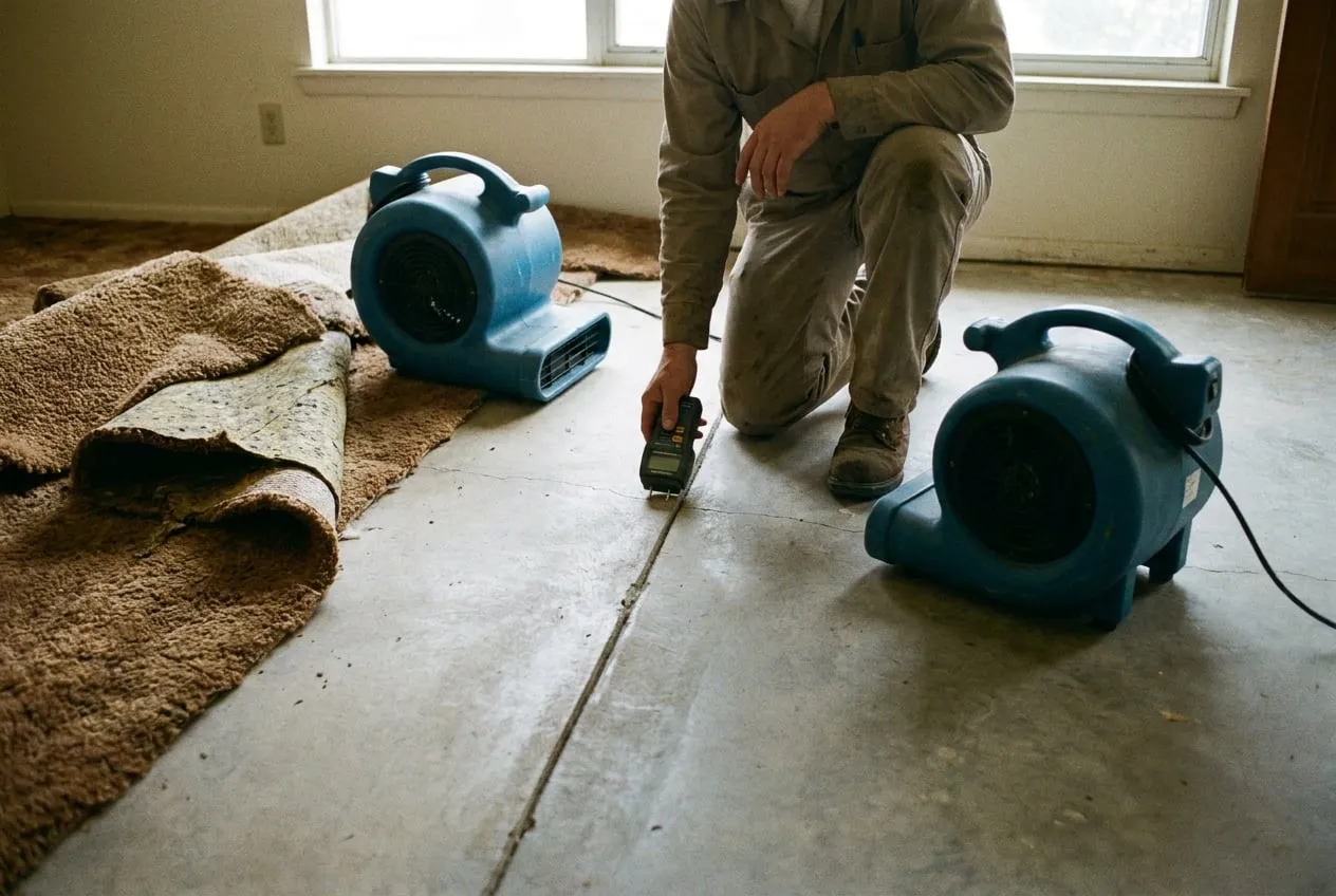
Because water follows the materials, not the floor plan. Where the original slab meets the addition's slab there is a joint, and water that reaches it can travel along it. The two sections were built at different times and can dry at different rates, so a dry reading on one side says nothing about the other. In older, owner-occupied ZIPs like 85028, a house may have changed shape over the years. The map follows the readings until both sections come back dry.