
Flood Cleanup in North Phoenix & Deer Valley
Published October 8, 2026 · Last reviewed October 8, 2026 · Water Fighters Restoration
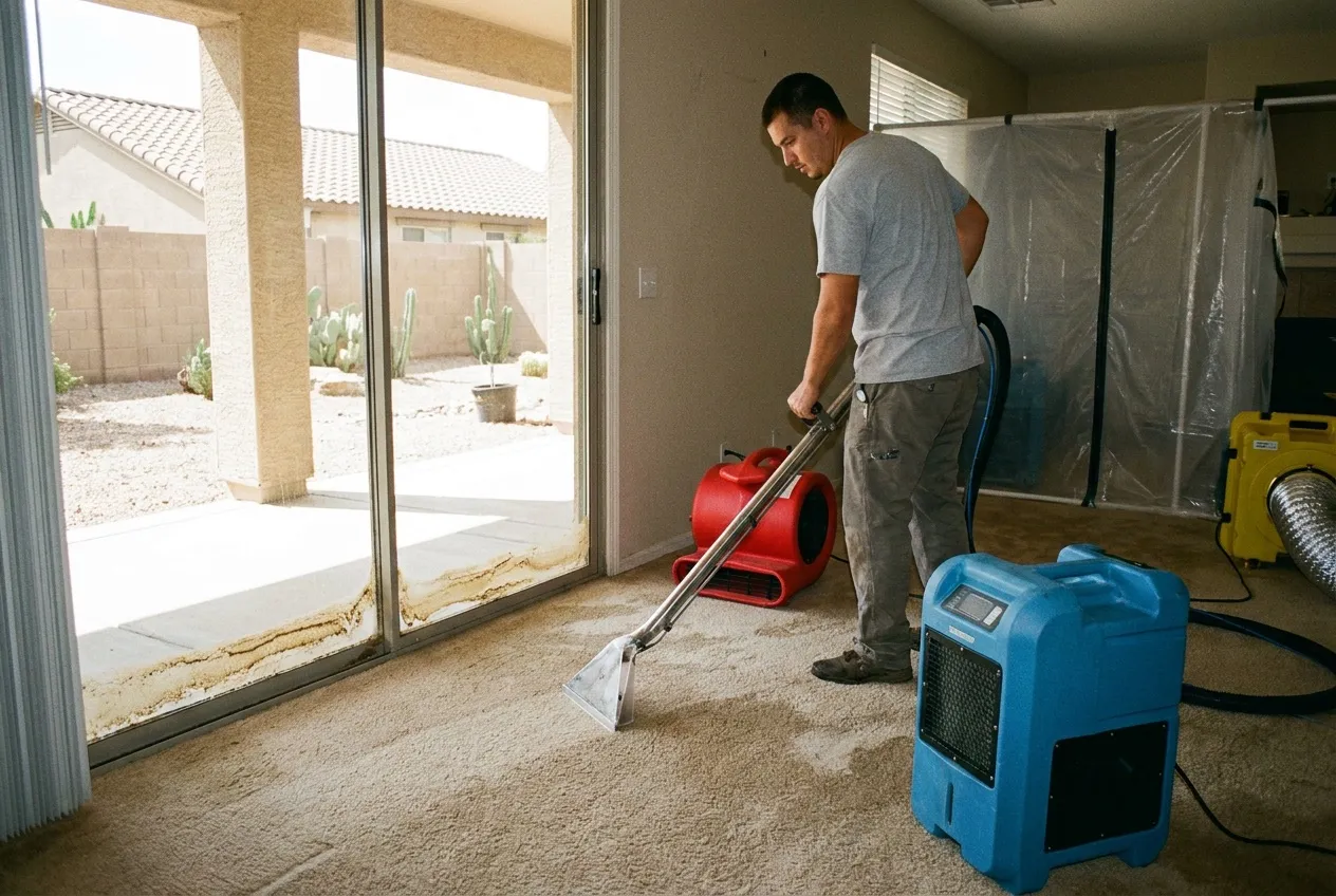
The storm has passed and the street is draining, but the water got under the patio door first. It left a skim of tan silt in the door track and a dark band in the carpet that keeps moving toward the hallway.
Outside water reaches a north Phoenix house two ways, and the record here shows both. It comes down Skunk Creek from rain that fell miles north, or it drops straight out of a cell parked overhead. Either way, the last mile at the house decides whether it comes inside.
What to do right now
- Stay out of moving water. Don't drive or walk through a running wash or a flooded road to get home, to leave, or to meet the crew.
- Stay away from water near electricity. Keep out of any room where water touches outlets, cords, appliances, or the panel.
- Treat everything that came in from outside as Category 3. It is contaminated however clear it looks, so keep kids and pets out of it.
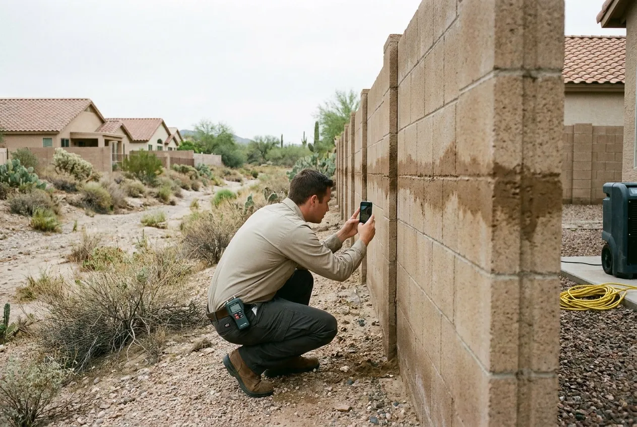
- Photograph from dry ground, then call. Get the gap where water entered and the line it left on the wall. Water Fighters Restoration is Open 24 hours, 7 days at (602) 884-5325, and on-site within an hour.
From upstream: Skunk Creek answers to rain you didn't get
The Skunk Creek watershed sits in north-central Maricopa County, with the New River watershed on its north and west and the Cave Creek watershed to the east. The watershed crosses I-17 near Loop 303, and the Skunk Creek gauge at I-17 drains about 65 square miles. Rain on all of that ground has to pass the gauge on its way down.
On Aug. 19, 2014, the Deer Valley Airport gauge recorded 0.59 inches of rain. Cline Creek, in the upper watershed, recorded 4.06. Skunk Creek at I-17 took 1.42 inches and still peaked at about 13,000 cfs, according to the Flood Control District. The creek backed up at the CAP Canal and flooded the freeway. The district's log also noted "minor flooding" at an apartment complex south of the canal on the east side of I-17.
July 23, 2021 repeated the pattern. More than 5 inches fell on the upper watershed, and the creek again spilled west onto I-17 at Dixileta Drive. The district put the I-17 flow, 9,429 cfs, at about an 18-year return. It calls these return periods "not considered definitive."
Below Adobe Dam, Skunk Creek keeps going through the Glendale reach. South of Bell Road, the older flood history belongs to Cave Creek, and the North Phoenix page tells it.
From overhead: 2.52 inches in one hour
The second way needs no creek at all. On Sept. 8, 2014, the Adobe Dam rain gauge took 2.52 inches in one hour, 3.66 in six hours, and 3.98 in 24. The district estimated the six-hour total at about a 604-year rainfall. That describes rain at one gauge, not a flood across the area.
The airport took 2.09 inches that day and Skunk Creek at I-17 took 2.48, while Sky Harbor's 3.30 broke a record set in 1939. Scatter Wash, which joins Skunk Creek below Adobe Dam, peaked at 1,273 cfs, its second-highest flow in about 18 years of record.
Rain that heavy doesn't wait for a wash to carry it. It runs down the street and the side yard and looks for the lowest opening on the lot. The dam's role is the Deer Valley page's story.
The last mile: crossings, basins, and the door
Sonoran Wash is a gauged tributary of Skunk Creek, and it set a record flow on July 25, 2021. On the morning of Sept. 19, 2025, its gauge took 1.06 inches of rain, against 0.98 at the airport and 0.63 at I-17. That spread is why the rain at your house is a poor guide to what the wash is doing.
Then come the basins. City rules say privately owned stormwater features, "including homeowner's associations," must be maintained "consistent with the original design intent." A basin that silts up or a dry well that stops draining is HOA or engineer work, not a shovel job.
FEMA issued updated flood map products for Phoenix on Nov. 14, 2015. The city's own plan says localized flooding "can occur anywhere," including Zone X. We can't tell you what zone your house is in. An address lookup on the 2015 map update can.
Category 3 from the threshold in
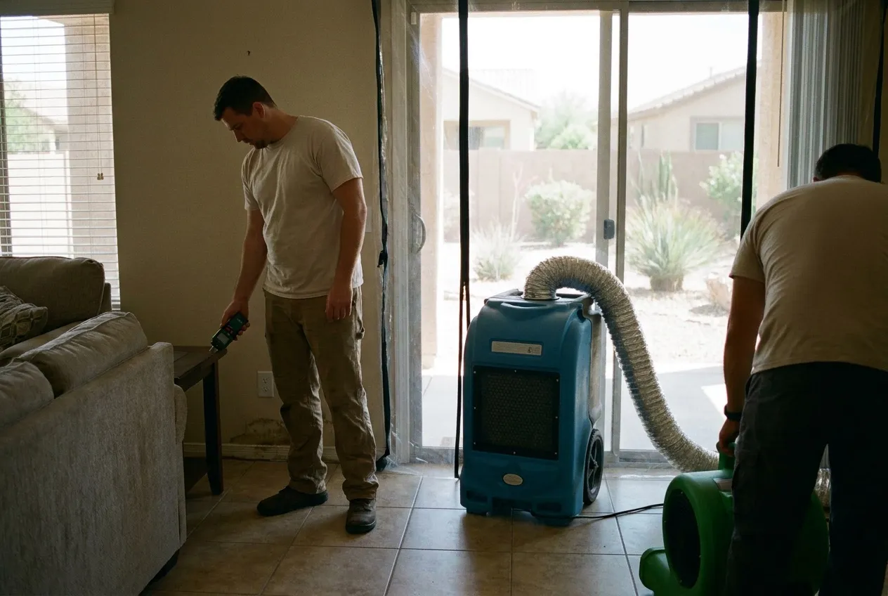
Creek water, wash water, and street runoff are all Category 3, and the monsoon flood guide explains why that holds even when the water looks clean. Crews set controls before extraction and pull the bulk water. Then they follow the moisture from the entry point under the flooring, into baseboards and wall bottoms, and past the garage wall. Porous materials the water reached are evaluated for removal, and drying equipment goes where the readings say.
Water Fighters Restoration does mitigation and rebuild with one team, working from Peoria and a staffed Deer Valley location. The step-by-step process is on the full flood cleanup page. The insurance claim guide covers documenting how outside water got in. If the water came up a drain instead of under a door, the north Phoenix sewage cleanup page covers it.
Water Fighters Restoration is IICRC Certified 70192944 · AZ ROC 324471 · ROC 324468 · EPA Lead-Safe Certified Firm · Licensed, Bonded & Insured.
Common Questions
What happens where Skunk Creek crosses the CAP Canal and I-17 in a big storm?
The creek can back up at the canal and spill toward the freeway. In August 2014, USGS found the flow backed up where Skunk Creek crosses the CAP Canal. At Dixileta Drive it split three ways: the channel, northbound I-17, and the canal. In July 2021 it overtopped Dixileta Drive and spilled onto I-17 again. Downstream, the creek meets New River in Peoria.
Why can Skunk Creek keep running below Adobe Dam for a day after the storm ends?
The dam lets go of what it caught slowly. On the afternoon of Aug. 19, 2014, the district expected about 20 hours to drain the 990 acre-feet the dam held, 5.3% of its emergency spillway capacity. It later logged outflow "flooding downstream roads," expected to last about 24 hours, and the water park inside the Adobe Dam basin evacuated all staff but one security guard. Release water can cover crossings below the dam after the storm ends, so keep off them until they reopen.
Why do water rescues keep happening near North Valley Parkway and Sonoran Wash?
Because recent storms keep putting moving water and traffic in the same place, and the record is specific. Around 5 a.m. on Sept. 19, 2025, a woman was rescued from her car in a flash flood near Dixileta Drive and North Valley Parkway. On Nov. 18–19, 2025, the National Weather Service logged swift-water rescues on Sonoran Wash and a 6:50 p.m. rescue along the parkway with the gauge above bank full. Never drive or walk into moving water. The Anthem flood page explains why even a shallow-looking crossing is unsafe.
How long should water stand in an HOA retention basin or dry well after a storm?
The City of Phoenix dry-well tip says standing water "should not be present after 36 hours." That figure is a maintenance check, and the city pairs it with looking at basins for slope erosion and silt. It is not a diagnosis. A basin or dry well that holds water longer goes to the HOA and its engineer, because city rules tie upkeep to the original design.
Can a winter storm fill Adobe Dam more than a monsoon does?
Yes, and it has. On Jan. 22, 2010, the dam held 1,853 acre-feet, a record at the time, against 990 acre-feet in the August 2014 flood. The district said a moderately strong El Niño was likely the main reason for that week's storms. A Jan. 19 storm left the ground "close to saturated," so heavier rain on Jan. 20–21 "quickly resulted in runoff/flooding." Winter storm water that gets inside is Category 3, the same as monsoon water.