Flood Cleanup in Goodyear
Published October 8, 2026 · Last reviewed October 8, 2026 · Water Fighters Restoration
The storm has moved on, but the water reached the patio door before it left. The carpet past the slider is dark halfway to the couch, and the family room smells like wet dirt.
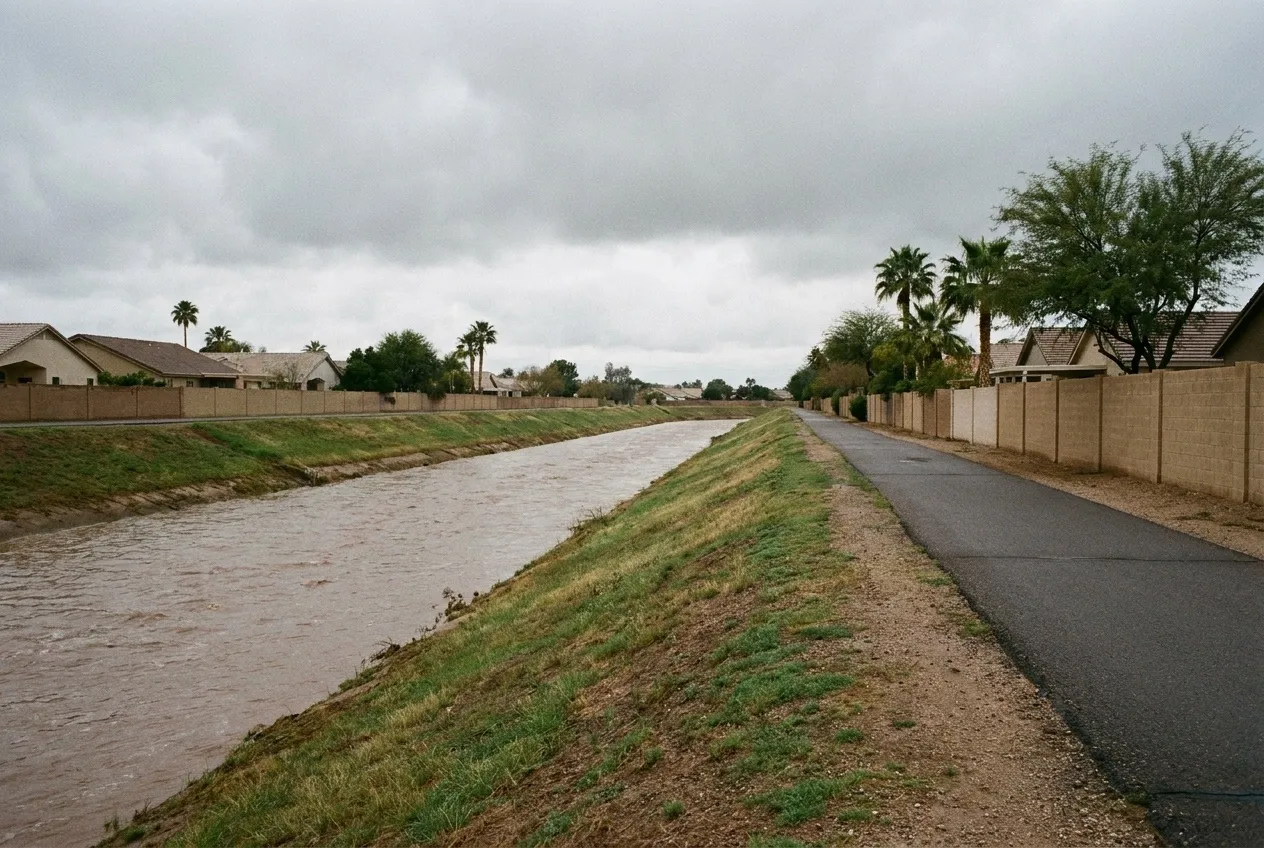
Goodyear runs about 22 miles north to south and 6 to 7 miles across, according to the county's 2021 hazard plan. Most of the land slopes less than 3 percent toward the Gila River in the middle, and each bank has its own flood record.
What to do right now
- Stay out of moving water. Don't drive or walk through a running wash or a flooded road, even to meet the crew.
- Keep away from water near electricity. Stay out of any room where water touches outlets, cords, appliances, or the panel.
- If a pipe broke, close the house valve where the line enters the home, and leave the curb meter box to your water provider. For City of Goodyear water, the City's after-hours line for water-related emergencies is 623-932-3010, Option 3.
- Keep people and pets out of outside water. We handle street and yard runoff indoors as Category 3, however clear it looks.
- Photograph from dry ground, then call. Get the entry point and the water line on the wall. Water Fighters Restoration is Open 24 hours, 7 days at (602) 884-5325, and on-site within an hour.
North of the Gila: Bullard Wash
The county plan says Goodyear's high-hazard flood zones north of the river "are primarily limited to the Bullard Wash alignment." The City and the Flood Control District of Maricopa County own the improved channel, which runs from Lower Buckeye Road to I-10.
West of Cotton Lane, the Loop 303 Outfall runs about 4½ miles south to the Gila. The District says it carries "100-year stormwater runoff to the Gila River."
The channels don't decide every house. Goodyear's engineering standards say "lots shall drain to the street," and they set finished floors at least 18 inches above a lot's low outfall. In an intense burst, a street can fill faster than its inlets drain. Citrus Road closed in storms in 2018, 2019, and 2021. The monsoon flood guide covers how a burst like that hunts for the lowest opening on a lot.
The Gila at Estrella Parkway
The District's river gauge at Estrella Parkway is listed under Goodyear, and 45,585 square miles drain to it. Its highest flow in the District's period of record, 75,883 cubic feet per second (cfs), came on February 16, 1995. In the District's 2024 water year, the same gauge recorded no runoff at all. A dry year at the crossing says little about the next big storm upstream.
South of the Gila: Waterman Wash
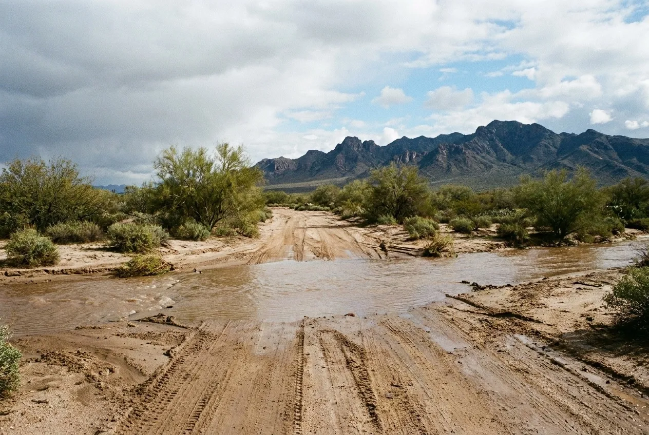
On September 8, 2014, thunderstorms lined up from the White Tank Mountains south through Rainbow Valley. The District's Waterman Wash gauge at Rainbow Valley Road took 4.21 inches in 3 hours, the largest 3-hour total of any District gauge in that storm. The District put that at about a 1,000-year rainfall for that one gauge, an estimate of rain at a point, not of how often the wash floods. The wash peaked at 3,360 cfs.
From the patio door in
Overflow from the Gila or a wash matches one of the IICRC S500 standard's own Category 3 examples, "rising water from rivers or streams." Street and yard runoff doesn't fit that example, and the IICRC's S500 committee says weather-related water isn't automatically Category 3. We handle it as Category 3 anyway, because it crossed the ground on its way inside.
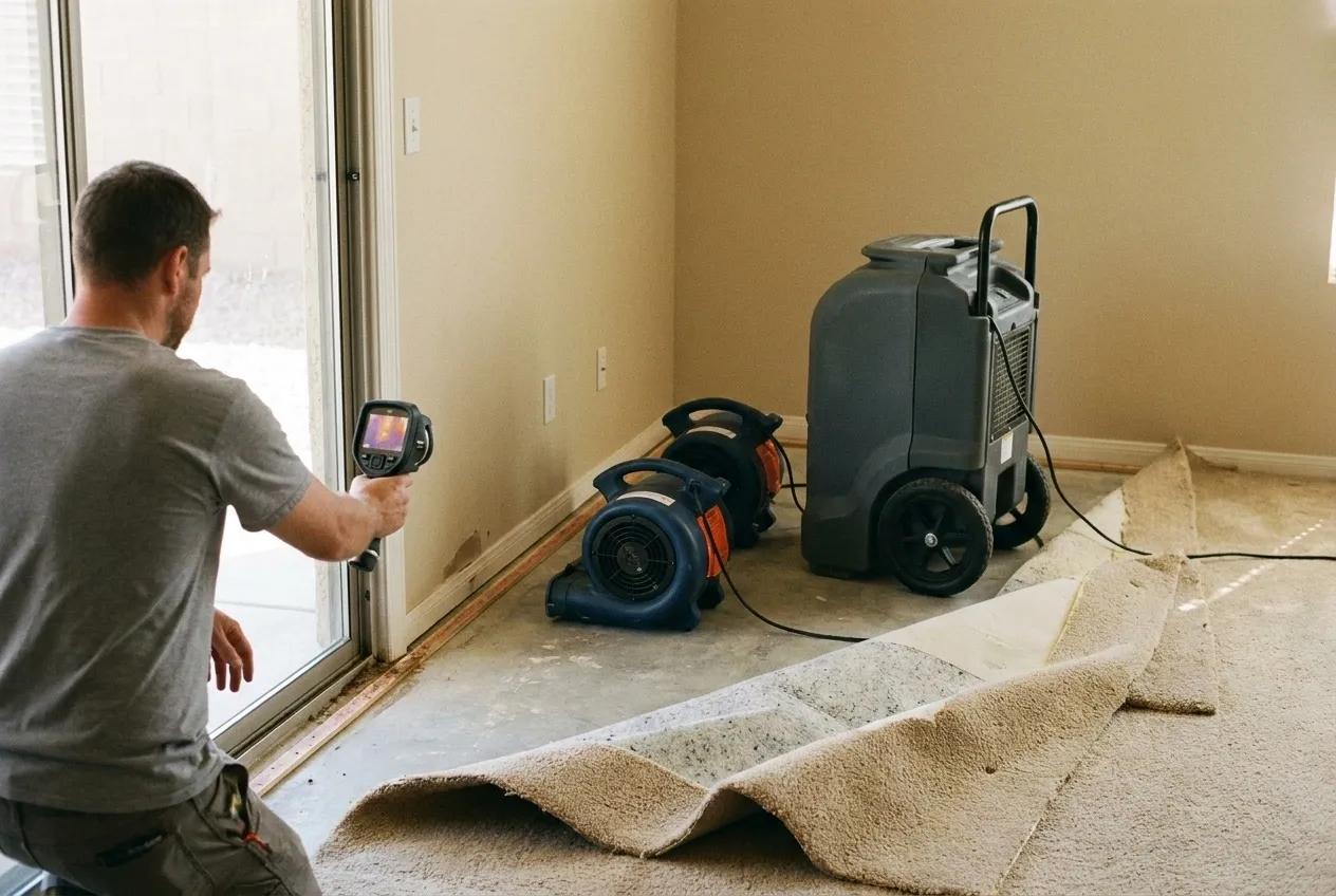
Crews set containment, then extract the standing water and what the carpet holds. A thermal camera shows the cool band along the wall base, and a moisture meter confirms each spot. Pad, baseboard, and the lowest drywall the runoff reached are evaluated for removal. Drying equipment goes where the readings are, not where the puddle was.
Water Fighters Restoration runs one licensed team, Valley-wide, from its Peoria home base and a staffed Deer Valley location. That team handles mitigation and rebuild. The full process is on the flood cleanup page, and water damage restoration in Goodyear covers losses that start inside the house. The Buckeye flood page follows the Gila downstream, and the Avondale flood page covers the city to the east.
Most homeowners policies exclude flood, so photograph the path from the street or wash to the door before cleanup starts, and use the insurance claim guide to document it. Estimates are free, and the estimate you receive is the same one your insurer receives.
Water Fighters Restoration is IICRC Certified 70192944 · AZ ROC 324471 · ROC 324468 · EPA Lead-Safe Certified Firm · Licensed, Bonded & Insured.
Common Questions
Does Goodyear have a flood emergency plan for Bullard Wash?
Yes. The county's 2021 hazard plan lists a Goodyear Emergency Response Plan for Bullard Wash flooding. City staff have done several trainings and a full-scale exercise with the Flood Control District. The work covered evacuation routes planned around street closures and alerts through the CENS mass-notification system. The channel runs from Lower Buckeye Road to I-10, and the city's high-hazard flood zones north of the Gila mostly follow it. If an alert or evacuation order comes, follow it first.
Why did neighborhoods near 156th Avenue and Indian School Road flood on September 27, 2014?
Rain rates topped 2 inches an hour. NOAA's storm record says the rain "flooded neighborhoods in Litchfield Park and Goodyear, especially in the areas near 156th Avenue and West Indian School Road." Bullard Wash at Indian School Road peaked at 560 cfs at 2:49 p.m., beating the 547 cfs set there 19 days earlier. That record still stood in the District's Water Year 2024 report. The Litchfield Park page covers the city next door.
Why is Waterman Wash part of Goodyear's flood picture when it sits south of the Gila?
Because Goodyear runs about 22 miles north to south and doesn't stop at the river. The District lists its Waterman Wash gauge, at Rainbow Valley and Queen Creek Roads, as a Goodyear gauge, and 362 square miles drain to it. Its flow record, 5,713 cfs, came on July 30, 2016. In 2012, Goodyear firefighters used an inflatable raft to reach a worker stranded on top of his vehicle in the wash near 155th Avenue and Riggs Road.
Did the October 2025 storm wash anything out in Goodyear?
Yes, a small bridge. The October 12, 2025 storm came from the remnants of Tropical Storms Priscilla and Raymond. NOAA's storm record says a small bridge near Beverly Road and 133rd Avenue in Goodyear "was washed away by the floodwaters," with no injuries reported.
Where can Goodyear residents get free sandbags?
The City lists sand and bags ahead of monsoon season at three sites. They are the east lot of Thomas Park at Thomas Road and 144th Avenue, a city dog park off Estrella Parkway south of MC 85, and Fire Station 182. Residents must bring their own shovels, and the City's sandbag page lists a contact if stock runs low. Sandbags slow water at a door, but they don't make a garage watertight.