Flood Cleanup in Avondale
Published October 8, 2026 · Last reviewed October 8, 2026 · Water Fighters Restoration
The street out front is a shallow brown sheet, and runoff has slid under the garage door and into the hall. It left a faint brown stripe on the drywall about two inches up, and the grout along it is still dark.
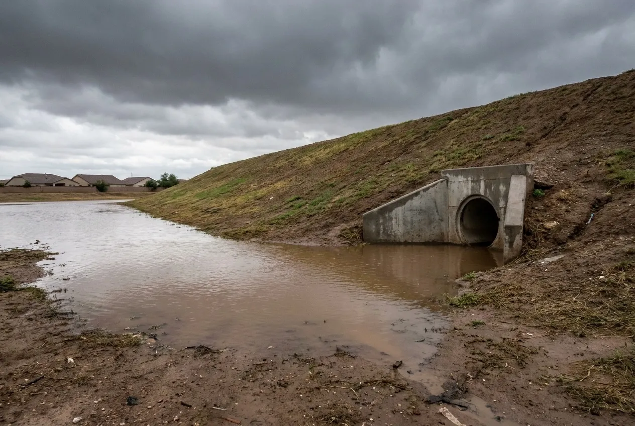
In most of Avondale, storm water that leaves a lot collects behind the county levee, then drains into the Agua Fria through pipes the Flood Control District owns. This page follows that chain, then comes back to your door. Once the water is gone, water damage restoration in Avondale covers the drying and repair side.
What to do right now
- Stay out of moving water. Don't drive or walk through a flooded street or a closed river crossing, to get home or to meet the crew.
- Keep away from water near electricity. Stay out of any room where water touches outlets, cords, appliances, or the panel.
- If a pipe broke, close the house valve where the water line enters the home. Leave the curb meter box to your water provider.
- Keep people and pets out of outside water. We handle runoff that crossed the ground as Category 3, however clear it looks.
- Photograph from dry ground, then call. Water Fighters Restoration is Open 24 hours, 7 days at (602) 884-5325, and on-site within an hour.
A limited drain system
Avondale "gradually slopes from north to south," the city's stormwater plan says, and its engineering manual adds, "The existing City of Avondale storm drain system is limited." So the city leans on retention. New development must hold the 100-year, 2-hour storm on site, plus a foot of freeboard.
The streets carry part of the load by design. Arterial and collector streets must keep one 12-foot lane dry each way in a 10-year, 2-hour storm, and a 100-year, 2-hour storm is meant to stay inside the right-of-way. A street built to those rules can still put water against a low garage door or patio track. The monsoon flood guide explains how an intense burst overloads a limited drain system.
During monsoon season, the City stocks self-service sand and sandbags at the Municipal Operations Service Center and Fire & Medical Stations 171 through 175, open around the clock.
Two gauges and a crossing with no bridge
The Agua Fria "bisects the City running north to south before merging with the Salt and Gila Rivers to form the Tres Rios Nature Area." A federal gauge named "Agua Fria River at Avondale" recorded its largest flow, 44,200 cubic feet per second, on February 20, 1980.
The county's gauge on Buckeye Road has a shorter record, since 1988. On September 8, 2014, "water from New River combined with flow from the Agua Fria River, and other local storm drains" to produce its largest flow, 10,274 cfs at 10:31 a.m. That is the county gauge's record, not the river's biggest flood here. The New River and Glendale's runoff arrive from upstream, and the Glendale flood page covers that reach.
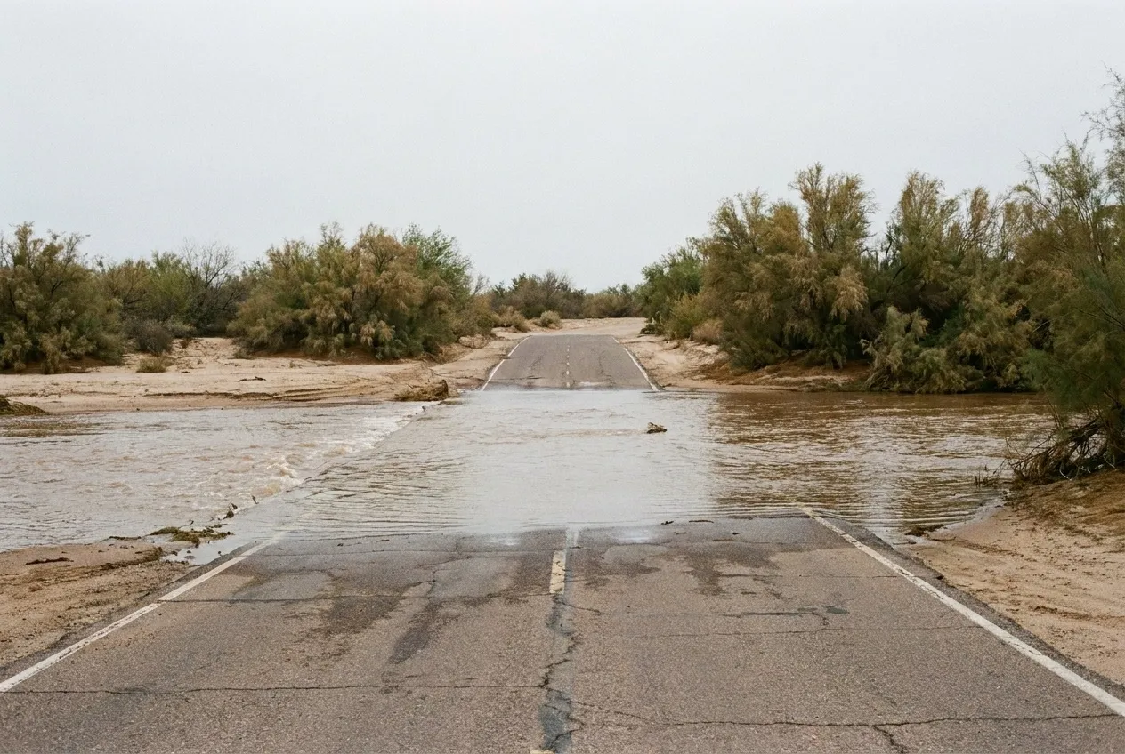
Where Lower Buckeye Road meets the river, there is no bridge, and the crossing has closed in storms in 2018, 2023 and 2025.
The mapped picture is small: about 1.7% of Avondale's homes sit in high-hazard flood zones, according to the 2021 county hazard plan. Downstream, the Goodyear flood page covers the Gila side.
Category 3 from the door in
River water that comes inside fits the IICRC's named Category 3 example, "rising water from rivers or streams." Water that ponded behind the levee or ran down the street is weather-related, which the S500 consensus body said in 2026 is not automatically Category 3. We handle it as Category 3 anyway, a more cautious line the categories guide explains.
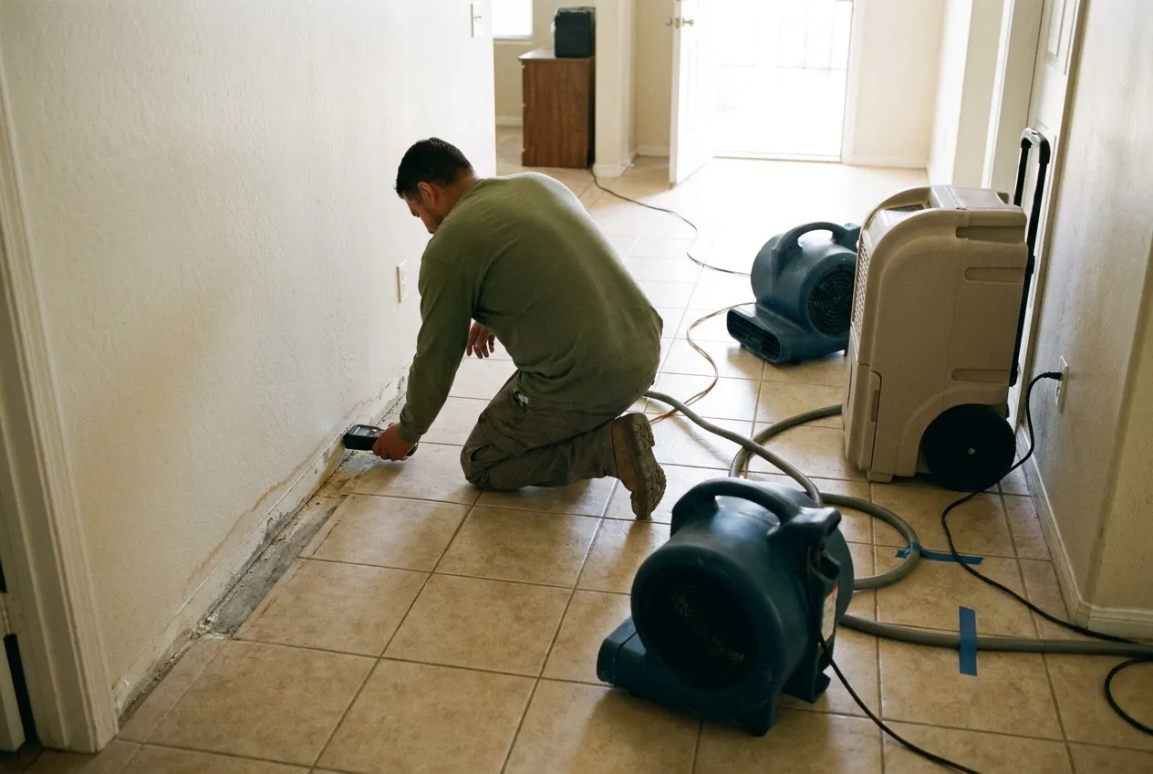
Crews pull the bulk water first. Then baseboards come off along the wet wall, and the moisture map sets the real edge. Drywall the runoff soaked is judged for removal, and the air movers and dehumidifiers follow the readings.
Water Fighters Restoration works from its home base in Peoria, and one team handles mitigation and rebuild, as the emergency flood cleanup page lays out. Most homeowners policies exclude flood, so document the route from street to door with the insurance claim guide.
Water Fighters Restoration is IICRC Certified 70192944 · AZ ROC 324471 · ROC 324468 · EPA Lead-Safe Certified Firm · Licensed, Bonded & Insured.
Common Questions
What are the pipes through the Agua Fria levee in Avondale for?
They let the city's storm water reach the river. Avondale is fairly flat and slopes gently from north to south. Runoff a lot doesn't keep goes into the storm drains and, in most of the city, pools behind the Flood Control District's levee. It then drains to the Agua Fria through "storm drain river penetrations" the District owns and operates, and the Agua Fria carries it on to the Gila.
Why did the Agua Fria rise at Buckeye Road during the July 2021 storms?
The county's storm report points to freeway drainage. On July 25, 2021, the river at the Buckeye Road gauge peaked at 6,176 cfs at 2:37 p.m. The report calls that "likely the result of flow from the ADOT I-10 drain along the north side of I-10." The same report named Avondale among the communities that "experienced significant flash and urban flooding." Local runoff can move the river as well as upstream rain.
What makes the Lower Buckeye Road crossing of the Agua Fria close in storms?
It has no bridge. Between 127th Avenue and Fourth Street, Lower Buckeye Road crosses the Agua Fria at what the weather service calls a low water crossing. During the remnants of Hurricane Rosa on October 2, 2018, it closed at the river at 1:15 p.m. It has closed again in later storms, including March 2023 and November 2025. The weather service notes impacts there are common at about 1,900 cfs at the Buckeye Road gauge.
Who should Avondale residents call about street flooding after business hours?
Call 911 for an emergency. For non-emergency storm problems after business hours, the City directs residents to the Avondale Police Department's non-emergency line, (623) 333-7001. During business hours, storm-related issues go to the City's Public Works department at (623) 333-4400. Water that got inside a house is ours, at (602) 884-5325.
Where does the county's hazard plan expect Avondale's greatest flood exposure?
In southern Avondale, along the Gila River. The 2021 county hazard plan expects the greatest future exposure where development is planned along the future State Route 30 and the Gila River in southern Avondale. The City's General Plan counts the rivers, their 100-year floodplains, and the Estrella Mountains as about 9,600 acres of open space. A plan's forecast covers areas, not any single house.