
Flood Cleanup in El Mirage
Published October 8, 2026 · Last reviewed October 8, 2026 · Water Fighters Restoration
Runoff has spread across the intersection at the end of the block, and its edge is at your garage door. Inside, the vinyl plank by the garage entry has lifted at the seams, and a muddy line runs along the bottom of the wall.
El Mirage's flood story is mostly on paper, which is a reason to take it seriously. The river on the east edge has carried dam releases measured in tens of thousands of cubic feet per second. The everyday problem is smaller and closer: street runoff looking for the lowest door. Once the water is gone, water damage restoration in El Mirage covers the rest.
What to do right now
- Stay out of moving water. Don't drive or walk through a flooded intersection or the Agua Fria's bed, to get home or to meet the crew.
- Keep away from water near electricity. Stay out of any room where water touches outlets, cords, appliances, or the panel.
- If a pipe broke, close the house valve where the water line enters the home. Leave the curb meter box to your water provider.
- Keep people and pets out of outside water. We handle runoff that crossed the ground as Category 3, however clear it looks.
- Photograph from dry ground, then call. Water Fighters Restoration is Open 24 hours, 7 days at (602) 884-5325, and on-site within an hour.
The river on the east edge
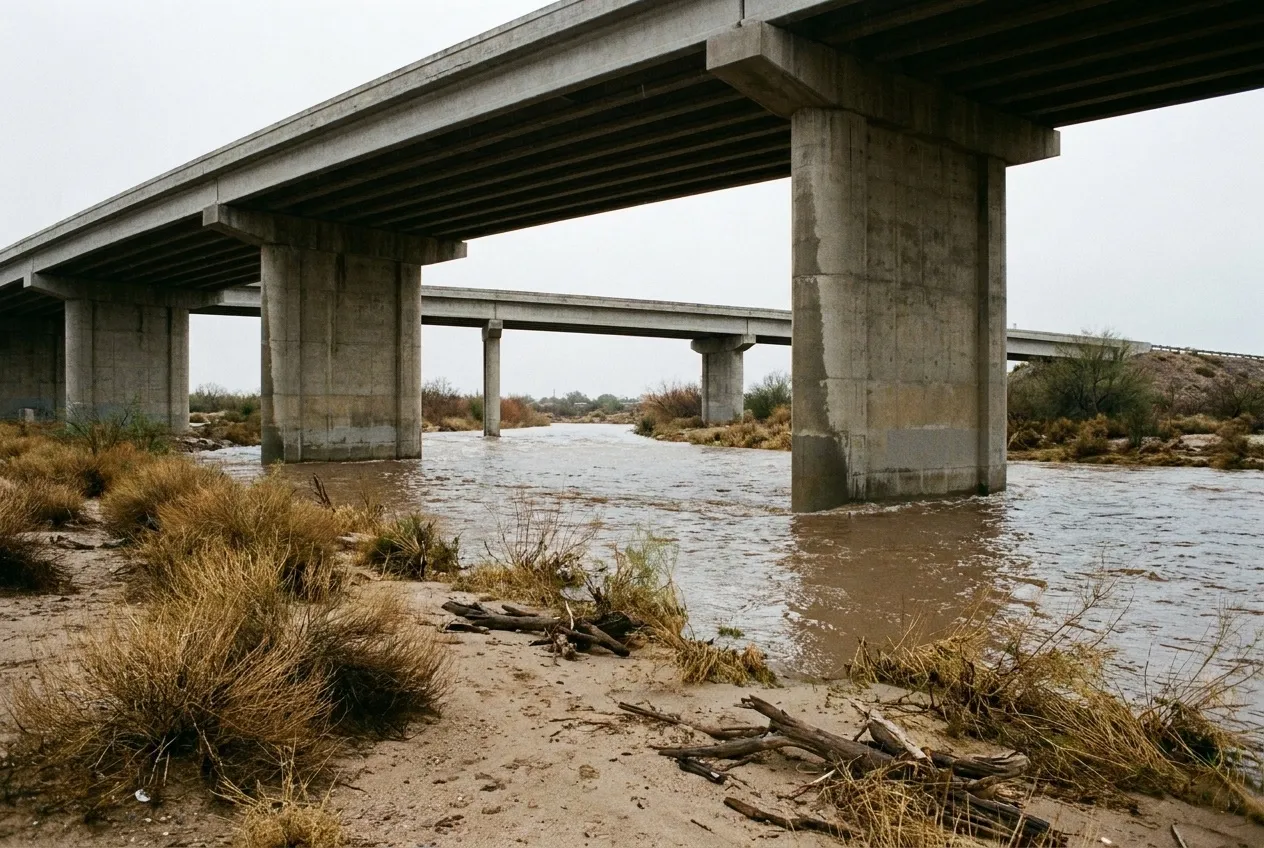
El Mirage sits on the west bank of the Agua Fria, which "runs the length of the city's eastern border." The river takes up 1,120 acres, the city's largest open space. The federal gauge's notes say it plainly: "Flow regulated by Lake Pleasant since 1927."
When the dam upstream releases floodwater, the numbers get large. In December 1978, a release pushed 58,400 cubic feet per second past Grand Avenue. The county's own gauge, on Grand Avenue west of 113th Avenue, sits inside El Mirage and was installed in 1994. Floodwater released from McMicken Dam may also reach the river upstream, and the Surprise flood page covers that dam.
The street scale
The city has documented its own trouble spot. Its FY2023 budget says portions of the Dysart Ranchettes flood in larger storms, around Desert Cove Road and 125th Avenue.
That runoff isn't clean. The city's stormwater page says it "is not treated," so the pollutants it picks up are carried to "waterways, canals, parks, community lakes, retention basins, and drywells." The same water can cross a garage threshold. The monsoon flood guide follows that water from street to door.
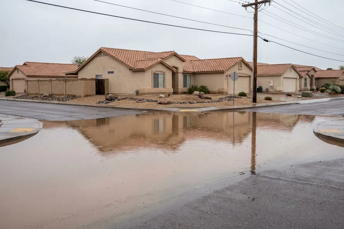
From the garage door in
River or wash water that comes inside fits the IICRC's named Category 3 example, "rising water from rivers or streams." Street and lot runoff isn't automatically Category 3 under that standard, but we handle it as Category 3, a more cautious line.
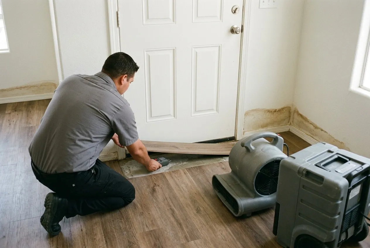
Water at a garage entry can run under vinyl plank or laminate before the surface shows it. Technicians lift a plank, meter the slab, and follow the moisture into the baseboards and drywall. The flooring guide covers which floors dry in place and which come up.
Water Fighters Restoration works from its home base in Peoria, and one team handles mitigation and rebuild, as the emergency flood cleanup page lays out. Flood is usually excluded from homeowners policies, and the coverage guide explains where the lines fall.
Water Fighters Restoration is IICRC Certified 70192944 · AZ ROC 324471 · ROC 324468 · EPA Lead-Safe Certified Firm · Licensed, Bonded & Insured.
Common Questions
How high has the Agua Fria run past El Mirage?
58,400 cubic feet per second, at Grand Avenue on December 19, 1978. That flow came from a Waddell Dam release of 59,900 cfs, "nearly four times the previous maximum" released that March. The federal gauge then sat at Grand Avenue, southeast of the El Mirage of the time. As of the District's 2014 station page, the county gauge's highest flow since 1994 was nearly 6,000 cfs, on October 27, 2000.
Can McMicken Dam releases reach the Agua Fria near El Mirage?
Yes. Federal station notes for the old Grand Avenue gauge say excess floodwater released from McMicken Dam "may enter" the Agua Fria upstream of the station. The route runs through an outlet channel of about 6 miles and an outlet wash of about 4 miles that "discharges to the Agua Fria River." Despite its name, the El Mirage Road Drain, which the McMicken Floodway empties into, is in Surprise.
Who handles floodplain permits in El Mirage?
Two offices share the job. The Flood Control District of Maricopa County "performs floodplain management" for El Mirage. At the city, the City Engineer serves as Floodplain Administrator and reviews development permits. "A floodplain use permit is required before construction or development begins within any area of special flood hazard." El Mirage joined the National Flood Insurance Program on December 1, 1978, and the 2021 county hazard plan lists its effective flood map date as September 18, 2020.
What did El Mirage document about flooding in the Dysart Ranchettes area?
That parts of it flood in larger storms. A city drainage project in the FY2023 budget says "portions of the Dysart Ranchettes experience flooding," especially around Desert Cove Road and 125th Avenue. The city had a drainage analysis done and weighed "catch basins, storm drains and/or retention basins," with estimated dates of August 2022 to June 2023. The budget sheet doesn't say whether the work was built.
How much of El Mirage sits in mapped high-hazard flood zones?
About 11% of homes, by the county's count. The 2021 county hazard plan put 1,275 of 11,307 residential structures in FEMA high-hazard zones, mostly in small areas east of El Mirage Road that are "typically well-defined drainage corridors." As of FEMA's March 2021 records, El Mirage had no repetitive-loss properties. These are map counts for the city, not a statement about any one house.