
Flood Cleanup in Buckeye
Published October 8, 2026 · Last reviewed October 8, 2026 · Water Fighters Restoration
The street is back below the curb, but the water crossed the patio and slid under the door before it dropped. A gritty line of silt runs along the plank floor by the slider.
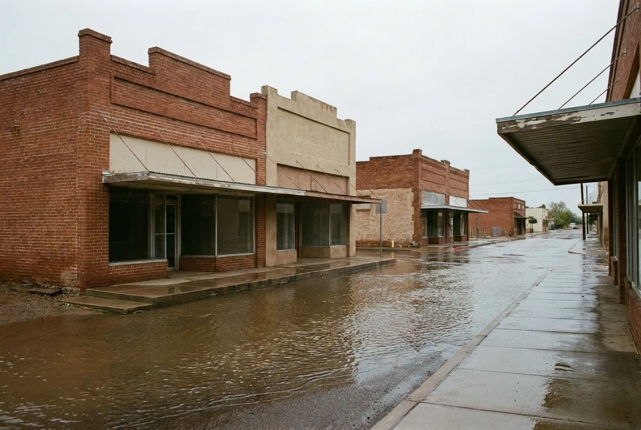
Buckeye floods two ways. River floods come down the Gila and the Hassayampa from rain that fell far upstream. Local storms flood streets, put water behind the dams north of I-10, and reach a historic downtown that FEMA says floods every year.
What to do right now
- Stay out of moving water. Don't drive or walk through a flooded street or a running wash, even to meet the crew.
- Keep away from water near electricity. Stay out of any room where water touches outlets, cords, appliances, or the panel.
- If a pipe broke, close the house valve where the line enters the home, and leave the curb meter box to your water provider.
- Keep people and pets out of outside water. We handle street, yard, and ditch water indoors as Category 3, however clear it looks.
- Photograph from dry ground, then call. Get the entry point and the water line on the wall. Water Fighters Restoration is Open 24 hours, 7 days at (602) 884-5325, and on-site within an hour.
Downtown: the flood that comes back
FEMA's case study says Buckeye's historic downtown "experiences flooding every year." On October 15, 2022, a trained spotter sent photos of water, estimated at 6 to 8 inches deep, entering a health clinic and some downtown stores. FEMA's summary also describes a project that will connect downtown drainage to existing irrigation canals and add a retention basin on a vacant lot.
North of I-10: three county dams
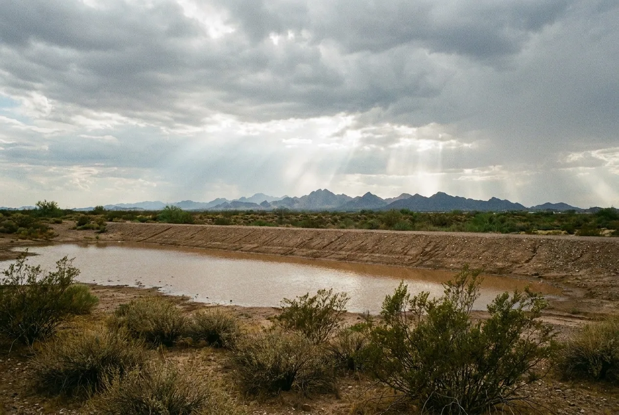
Between I-10 and the White Tank Mountains, the county Flood Control District runs three Buckeye flood-retarding dams. No. 1, an earthen dam about 7.1 miles long and 26 feet high, was built in the 1970s. It conveys floodwater to the Hassayampa and was rehabilitated in recent years. No. 2 sits about 5 miles north of Buckeye near Yuma and Miller Roads, and No. 3 sits near I-10 and Watson Road.
On September 8, 2014, heavy rain fell in and around Buckeye. No. 2 reached 23.8 percent of its storage, a record for a dam that had never passed 10 percent.
Short bursts are the other local threat. On September 16, 2019, an automated flood-control gauge 4 miles north of Buckeye measured 2.48 inches in 90 minutes. The monsoon flood guide covers what a burst like that does to scuppers, door seals, and garage thresholds.
The Gila and the Hassayampa
The Gila runs south of the historic downtown, and the county's hazard plan says the Hassayampa and its tributaries "influence the north and west sides of Buckeye." On March 13, 2020, a motorist was trapped at Baseline Road and 319th Avenue, west of town, by "the Hassayampa River flowing swiftly across the road."
The District has restudied about 14.5 miles of the Hassayampa, from Jackrabbit Wash to the Gila, in unincorporated county land and the city. It says FEMA approved the study, though the new map "may take several years." It adds, "Flooding may still occur even in areas outside of delineated 100-year floodplains."
From the slider in
Water from the Gila or the Hassayampa matches one of the IICRC S500 standard's own Category 3 examples, "rising water from rivers or streams." Downtown street water, ditch water, and basin water don't fit that example. We handle them as Category 3 anyway, because they crossed the ground before reaching the house.
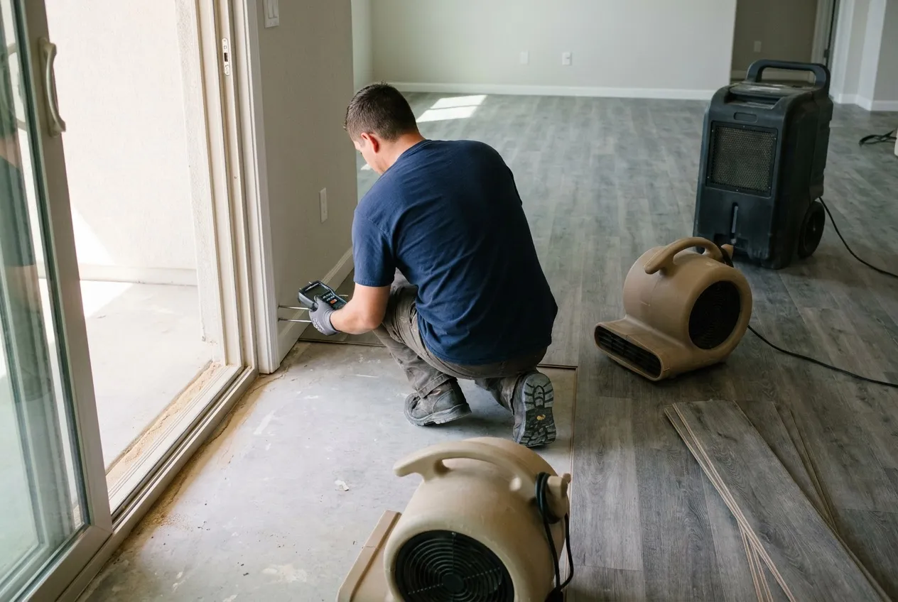
Crews contain the work area and extract first. On a slab with plank flooring, lifting a few rows at the door lets the crew take meter readings at the wall base and on the concrete beneath. Wet underlayment, baseboard, and the bottom of the drywall are evaluated for removal, and drying follows the readings. The flooring guide covers which floors come up and why.
Water Fighters Restoration runs one licensed team, Valley-wide, from its Peoria home base and a staffed Deer Valley location. That team handles mitigation and rebuild. The full process is on the flood cleanup page, and water damage restoration in Buckeye covers losses that start inside the house. Upstream on the Gila, see the Goodyear flood page. The Surprise flood page covers the far side of the White Tanks.
Most homeowners policies exclude flood, and the coverage guide explains where the lines fall. Estimates are free, and the estimate you receive is the same one your insurer receives.
Water Fighters Restoration is IICRC Certified 70192944 · AZ ROC 324471 · ROC 324468 · EPA Lead-Safe Certified Firm · Licensed, Bonded & Insured.
Common Questions
Why does historic downtown Buckeye flood almost every year?
FEMA's project summary points to the loss of the open irrigation ditches and farm fields that once gave protection from excess runoff. It also says many homes in the area "lie below street level and often are affected by flooding." Runoff from parts of historic downtown reaches a tailwater ditch at Beloat Road and 7th Street. From there it runs by ditch to the Arlington Canal, which ends at the Gila at Gillespie Dam.
What did the January 1993 flood damage near Buckeye?
Homes and farms. A county emergency memo reported four homes, two mobile homes, and three farms damaged near 227th Avenue and Beloat Road, with water marks about 24 inches high. The county's after-action report calls it, by volume, "probably the largest flood experienced by central and southwestern Arizona since 1890." All three Buckeye flood-retarding dams, county Flood Control District structures north of I-10, sat at 0 percent of capacity. Downstream, Gillespie Dam lost a 100-foot section from its center.
Why do retention basins in Buckeye subdivisions have no overflow outlet?
Because City standards keep all the storm water that falls in a subdivision inside its borders. The City's stormwater management program says it goes into retention basins owned by the homeowners association, and those basins "are designed with no overflow structures." They empty through dry wells and percolation instead.
Did the 2024 Gila River flood map update change anything near Buckeye?
Yes. The February 8, 2024 map update brought in two county studies. The first had identified about 7 square miles of additional overflow area north of the Gila, between Perryville and Apache Roads. A later study refined that area between Miller and Bullard Roads. The District says development permitted since December 15, 2015, already had to follow that floodplain, and that the change may affect flood insurance requirements on federally backed mortgages. We can't tell you what zone a house is in, but the District's flood map line, (602) 506-2419, can.
What is the El Rio plan for the Gila south of downtown Buckeye?
It is the county Flood Control District's plan for the Gila from its confluence with the Agua Fria River to SR 85, near Buckeye's historic downtown. The District calls the 2006 El Rio Watercourse Master Plan "a blueprint for flood mitigation" on that reach. A 2018 consultant article puts the El Rio area at about 3.5 square miles just south of the historic downtown, along the river. A plan for a river corridor doesn't tell you how any single house will fare in the next flood.